Google AI Model Uses Virtual Satellite to Map Earth
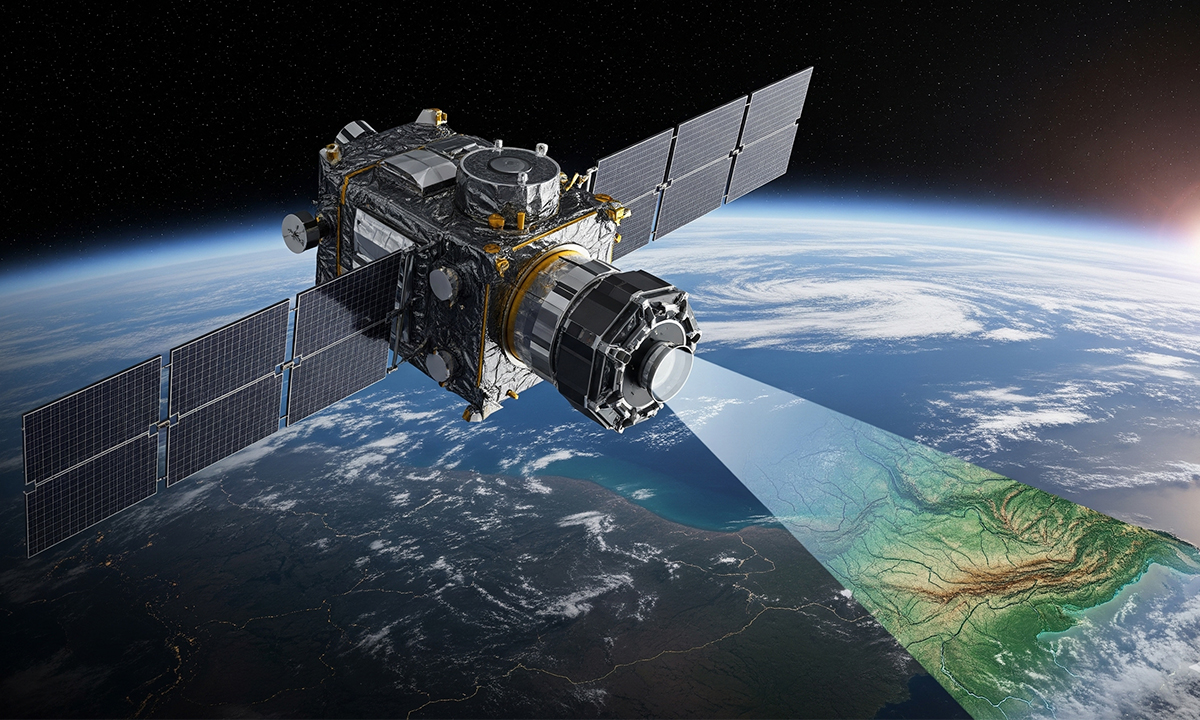
Google DeepMind introduced a new artificial intelligence model that captures the vivid details of the Earth’s surface, which helps scientists and governments make better decisions about the land and sea. Called AlphaEarth Foundations, the geospatial AI model pulls together satellite images and other environmental data to create a single picture of the planet, according to … Continue reading Google AI Model Uses Virtual Satellite to Map Earth
