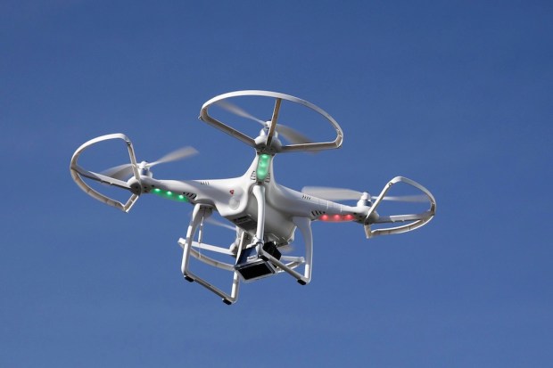
No less a tech behemoth than Apple is looking to use drones in its own operations, in a move that Bloomberg said seeks to boost the firm’s Maps service. This would be a shot across the location-mapping bow of Google, the newswire said earlier this week.
Apple is in the midst of bringing together robotics and data collection professionals with an eye on speed in mapping out information, typically gathered “on the road,” literally, through vehicles. The Apple drones will be used to track and document street signs and find if there have been changes to routes due to construction and other initiatives. The firm, said unnamed insiders, will also boost views taken inside buildings, with an overarching goal of better data control.
The use of drones was presaged by a filing last September that the firm had made looking for an exemption from the Federal Aviation Administration to bring drones in for commercial use. The FAA granted drone use to Apple earlier in 2016. Thus far, the drones are not allowed to fly above people and buildings, which the newswire stated might limit Apple’s mapping forays “for the time being,” but drones could still be deployed here in the U.S. and with less onerous restrictions in other countries. The firm is also developing indoor mapping capabilities, which would be used to navigate airports, said Bloomberg, and other public spaces, using iPhones.